Featured partner
Recommended for Walthamstow

ROAVR Group
Tree, ecology, flood risk and topographical surveys for planning applications.
4.9 Google rating
Get a quote
Local experts.
Featured partner
Recommended for Walthamstow
Tree, ecology, flood risk and topographical surveys for planning applications.
4.9 Google rating
Local experts.
Land and building surveying company with offices in Surrey (Dunsfold Park), London,…
Measured building and land surveyors trading from 111 Gosterwood Street in Deptford, in…
Land and measured-building survey practice with a London office in Crystal Palace.
Land survey and site engineering practice based in Chesham, north-west of the M25.
A topographical survey in Walthamstow Town Centre records levels, boundaries and features around Town Square, and it underpins tree, drainage and design work. The local planning authority is the London Borough of Waltham Forest. Policy 80 of the Waltham Forest Local Plan Part 1, adopted on 29 February 2024, requires an arboricultural report where trees would be affected, usually plotted on an accurate survey. Policy 91 also relies on site levels when flood risk and drainage are assessed. Policy G7 of the London Plan, published on 2 March 2021, also forms part of the development plan.
Local planning authority: London Borough of Waltham Forest
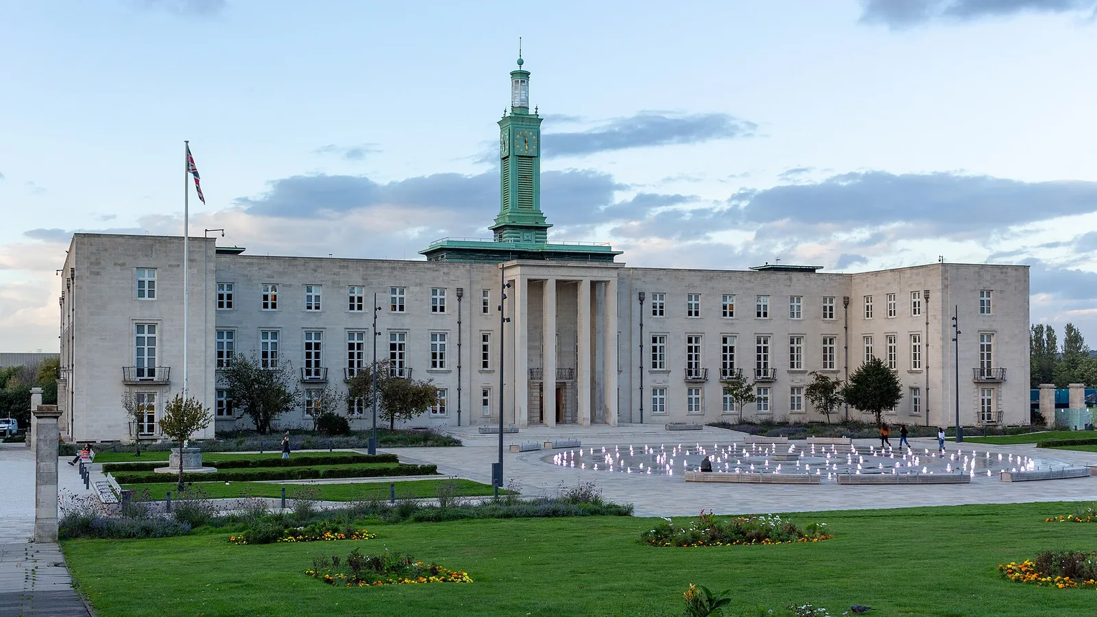
A survey in Walthamstow Town Centre should pick up trees, levels and drainage features around Town Square, especially where surface water flood risk is a concern. Sites further west may also need to record land towards Walthamstow Wetlands and the River Lea; Epping Forest lies to the north. Leyton and Highams Park are areas covered on these pages.
The London Borough of Waltham Forest uses accurate site information when it assesses trees under Policy 80 and flood risk under Policy 91 of the Waltham Forest Local Plan Part 1, adopted on 29 February 2024, together with the London Plan published on 2 March 2021. Confirm the current local validation requirements with the council before submitting.
Local plan: Waltham Forest Local Plan Part 1: Shaping the Borough 2020–2035 (The Waltham Forest Local Plan Part 1: Shaping the Borough 2020–2035 was adopted on 29 February 2024 and is the adopted strategic local plan. The London Plan, published on 2 March 2021, also forms part of the development plan. There is no 2027 successor council for this borough.)
80: Trees
Policy 80 of the Waltham Forest Local Plan Part 1, adopted on 29 February 2024, addresses trees and requires an arboricultural report where trees would be affected.
79: Biodiversity and Geodiversity
Policy 79 requires development to demonstrate a minimum 10 per cent biodiversity net gain using the Defra Biodiversity Metric. That restates the statutory minimum and does not set a higher local percentage.
81: Epping Forest and the EFSAC
Policy 81 addresses Epping Forest and the Epping Forest Special Area of Conservation, including mitigation for residential development within the relevant zone of influence.
83: Protecting and Enhancing Waterways and River Corridors
Policy 83 protects and enhances waterways and river corridors, including the River Lea and related open spaces at the west of the borough.
91: Managing Flood Risk
Policy 91 addresses the management of flood risk, including flood risk assessment and sustainable drainage.
General guidance for topographical survey, not formal advice for your site.
The London Borough of Waltham Forest. The London Plan also forms part of the development plan. The borough is the Lead Local Flood Authority. There is no 2027 successor council for this borough.
An accurate survey of levels, trees and boundaries supports the arboricultural report required by Policy 80 and the flood risk and drainage work required by Policy 91.
Yes. The London Plan, published on 2 March 2021, forms part of the development plan. Policy G7 and Policies SI12 and SI13 are the London Plan policies most often read alongside a site survey.
No other published town guides for this survey in the council area yet.