Featured partner
Recommended for Chertsey

ROAVR Group
Tree, ecology, flood risk and topographical surveys for planning applications.
4.9 Google rating
Get a quote
Local experts.
Featured partner
Recommended for Chertsey
Tree, ecology, flood risk and topographical surveys for planning applications.
4.9 Google rating
Local experts.
Environmental consultancy founded in 2004, with its head office on the Surrey Research…
Multi-disciplinary practice founded in 1985, offering arboriculture, ecology, landscape…
Farnham-based tree consultancy led by Alex Needs, a Chartered Arboriculturist and…
Independent arboricultural consultancy based near Fleet, led by Keiron Hart, who is…
Trees in the Chertsey Conservation Area, along the River Thames and at Chertsey Meads are typical starting points for a tree survey in Chertsey. A planning application should record trees on and next to the site, usually to BS5837. The local planning authority is Runnymede Borough Council. Policy EE11 of the Runnymede 2030 Local Plan, adopted on 16 July 2020, protects and enhances the green infrastructure network, including trees and landscaping. Works to trees in the conservation area may need six weeks' notice.
Local planning authority: Runnymede Borough Council
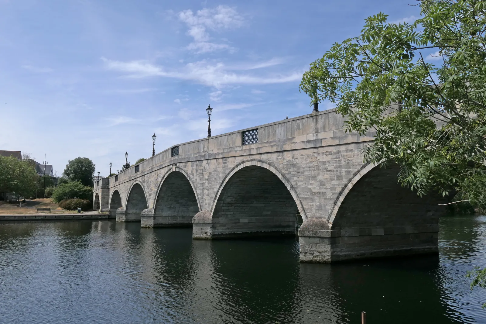
The Chertsey Conservation Area centres on Guildford Street, London Street and Windsor Street, with St Peter's Church and the remains of Chertsey Abbey. The River Thames and Chertsey Meads form the riverside setting, with Metropolitan Green Belt wrapping the edges of the town towards Addlestone, Thorpe and the M25. Addlestone is treated as an area covered on these pages.
Runnymede Borough Council assesses tree and landscape issues under Policy EE11 of the Runnymede 2030 Local Plan, adopted on 16 July 2020, together with Policy EE1 on townscape and landscape quality. Confirm the current validation requirements with the council before submitting.
Local plan: Runnymede 2030 Local Plan (Adopted on 16 July 2020 and still in force. The council adopted a timetable for a new Local Plan on 25 February 2026, with issues and options scoping consultation from 7 September to 12 October 2026; the new plan had not been adopted as of 13 November 2026.)
EE11: Green Infrastructure
Protects and enhances the green infrastructure network, including trees and landscaping as part of the wider network.
EE10: Thames Basin Heaths Special Protection Area
No additional residential development within 400 m of the SPA. Non-residential development within 400 m may require Appropriate Assessment. All additional residential development beyond 400 m but within 5 km must provide adequate avoidance measures, generally SANG and SAMM.
EE12: Blue Infrastructure
Protects and enhances rivers and other waterbodies, including buffers, deculverting and fish passage, and requires SuDS designs to take account of wildlife.
EE1: Townscape and Landscape Quality
Requires development to respect and enhance townscape and landscape quality, including the setting of the River Thames and historic landscapes around Egham.
General guidance for tree survey (bs5837), not formal advice for your site.
Runnymede Borough Council. From 1 April 2027 planning powers pass to the new West Surrey unitary council under local government reorganisation.
Policy EE11 applies where trees or landscaping could be affected. A BS5837 survey is the usual way to record trees on and next to the site. Confirm the current validation requirements with the council.
They often do. The Chertsey Conservation Area, the River Thames frontage and Chertsey Meads all contain trees that Policy EE11 seeks to protect as part of the green infrastructure network. Works in the conservation area may also need notice to the council.